To Sath Ca’lina

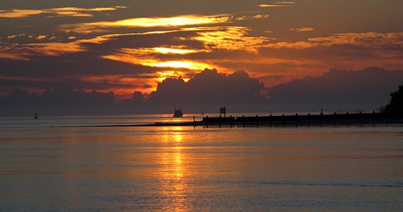
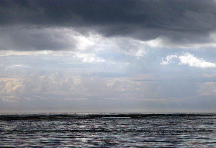
Our weather is distinctly different today, with low dark clouds threatening rain.

Image

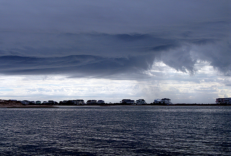
We are still blessed with little or no wind, which is what I care about. It usually means flatter seas, pretty much the only kind I like!

Image

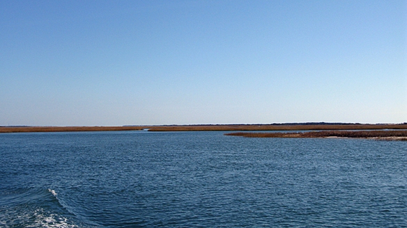
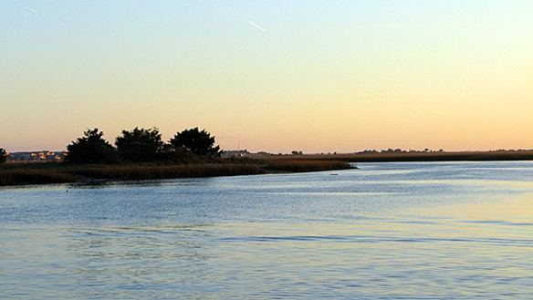
We’ve had many inlets, the largest being Cape Fear, below Wilmington. It’s HUGE! The sea comes in there and all of a sudden you’re going in a different direction as a current catches you.

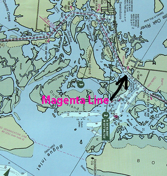
ICW (IntraCoastal Waterway) marks are unique. Normally when you’re cruising on any waterway you have routes that you can take instead of roads. While the roads on the water aren’t as obvious, there are marks (green squares and red triangles) on poles in the water (or on cans or buoys) indicating where the channel is, and if you coordinate that with your charts you’ve got a pretty good idea of where you are and where you need to go.  When you are going into an inlet or channel or river, you keep the red triangles on the right: “red right returning.” But all the way down the coast on the ICW we keep the red on the right (which I guess means that we are “returning” south) . . . and all the way back up the coast we keep the green on the right. Unless you are in or near an inlet, or river, etc., in which case the river or inlet marks prevail. Can be VERY confusing, especially if you’ve got channels going off into several different rivers. So we’re booking along with the current in the Cape Fear River and all of a sudden I realize that the channel is wide and unobstructed by land. . . we are heading out to sea! Whoa, I don’t THINK so!! Lots of marks, green, red, red, green, red, but what I need to find is one of these:

Image

See that yellow square up there at the top? That means that it’s an ICW mark and it should be on my left. The red triangles have yellow triangles at the top. Whew!! Close one there. I am not ready to go into the ocean.

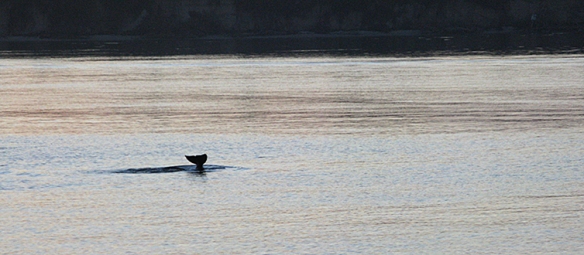
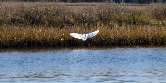
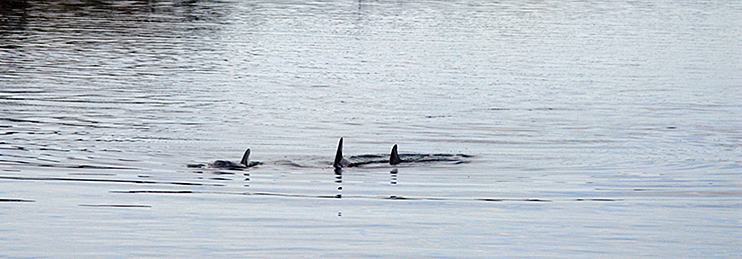
We are seeing more dolphin as we head south. I KNOW I will be able to get some great shots as we go along, but so far I’ve only managed fins.

Image

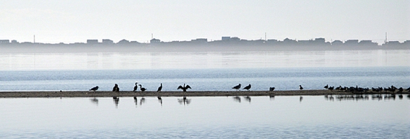
We are also seeing more pelicans too, which I love. These are the most graceful ugly creatures you can imagine! Pterodactyls are not too much in the past for these birds, and their great soft throat (which I can tell you can accommodate a fish nearly the size of the bird’s body!) is naked and floppy. But let them fly, oh my, let them fly! They coast along with wing tips like fingers, splayed along the top of the water, never quite touching but al-l-l-lmost close enough. . . I will get some photos of these birds, and hopefully do them justice.

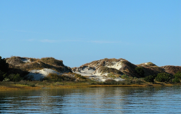
We had lots of inlets, some of them absolutely right there, the ocean coming in. . .

Image

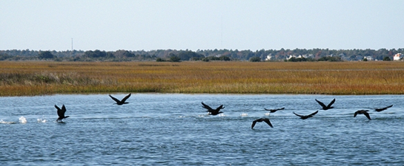
And how’s this for a wave of birds? Like water flowing!

Image

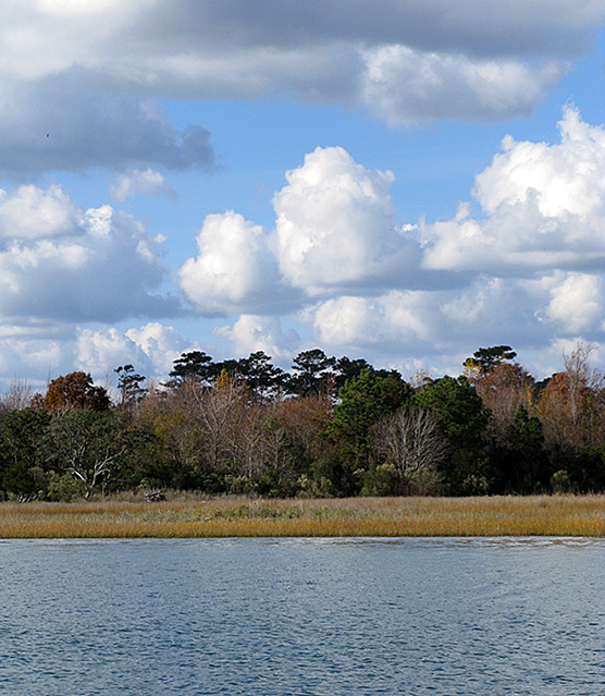
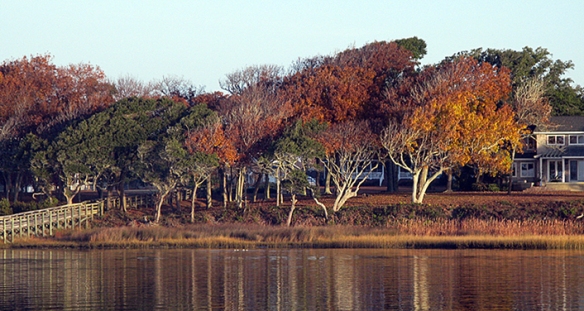
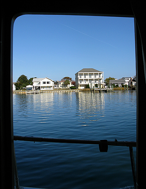
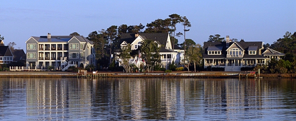
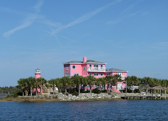
And more soup to nuts houses along the way. . . which ones are soup, and which ones nuts? (Frankly, I’m beginning to think they’re ALL nuts to be so close to the water these days. . . I grew up on Long Island at a time when the Army Corps of Engineers was still under the impression that they could “do something” about the ocean. My father was an architect with many very wealthy clients who managed to convince the Army Corps of Engineers to “do something” in front of their dune mansions. It never worked. Ever.)

Image

Image

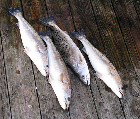
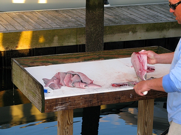
We saw lots of Shrimp boats today, coming, going, drying and clearing their nets. Can I just tell you I can hardly WAIT to be able to buy fresh local shrimp and . . . marinate and grill them? No, sautee in white wine with garlic and parsely. . . with a bit of bread crumbs and olive oil? Or not. I hope to have opportunities to do it all!

Image

We are at Barefoot Marina in North Myrtle Beach tonight (wait. . . that means we’re in Sath Ca’lina!) and the last bit of our journey was through a part of the ICW called “The Rock Pile.” This is a particularly narrow part of the channel, with rock ledges on either side, some of which you can see just below the surface, or being sloshed by your wake. The bottom is hard shale or rock. You DO NOT want to touch anything here, sides or bottom. Dead center in the channel is the key, and there’s a certain “pucker factor” if you will, as you navigate this area. It only goes about 18 miles, but at 8 1/2 knots, do you know how LONG THAT IS??

Image

Image

As if we needed warning!

Sounds, Inlets and Barrier Islands

Image

12-3 2 Morehead City SunriseNot quite up to the Dowry Creek level, but I loved the billowing cloud bank . . .

We saw our first dolphins today, as we came out of Newport River and turned into Bogue Sound. I didn’t do so well with the photography on this one — I was unprepared when they surfaced directly in front of our bow!

Our first dolphins!

Our first dolphins!

Normally dolphins will speed toward a moving boat to ride the bow wave, but I’m guessing that at 8 ½ knots we didn’t provide the excitement that the speedy sports fishing boats do. They let us pass without  paying us any attention at all.

Crossing the Bogue Sound this morning we got a huge push from the current that was coming in the Beaufort Inlet, speeding us along at an unbelievable 10.1 knots. Somewhere along the way the current changed, and we dropped back to 7 knots going against the current coming in the Bogue Inlet, farther down the ICW.  Take a look at the chart here and you will see “the magenta line,” indicating the ICW, and how it winds around some of the small islands at the inlet.

Sounds, Inlets, Barrier Islands and ICW

Sounds, Inlets, Barrier Islands and ICW

Currents coming around some of those islands will sometimes be opposed to the current coming in the actual inlet itself, so our speed varies considerably, and OFTEN!

The Sounds are associated with inlets from the ocean, and protected by barrier islands. The “Bogue Bank” seems to  be heavily developed in some areas (look out FEMA!) In many places there is a second, smaller line of barrier islands, some of which are barely dry ground, but the birds love them.

Two Kinds of Barrier Islands

Two Kinds of Barrier Islands

You can see the two barrier islands here, the closer one inhabited by birds. Look at the cormorant spreading his wings, just left of center. Bird feathers are hollow which gives them lots of insulation. But these guys dive deep for fish, holding their breath for over a minute, and after a while they get water logged. To the point where they no longer float! So they hang out like this, basking in sun, wind, air, until they can float again.

Here is a Snowy Egret that we startled out of his fishing. . . .

12-3 6 Snowy Egret

And here a flock of cormorants who we chased down the channel. The rear guys would lift as we approached, paddling and splashing, fly ahead a thousand feet or more, and then settle with the flock coming in behind them. Only to lift again! It was like watching the water flow.

Cormorants on the ICW

Cormorants on the ICW

12-3 11 Dunes on the BarrierWe went through Camp LeJeune. . . never saw a person, but a large helicopter that Hans called the “Green Giant” flew overhead and circled us for a bit. The signs about “Live Fire” are real, and a bit daunting, yes?

Entering Camp LeJeune

Entering Camp LeJeune

This was truly a gorgeous day, and we went through lovely areas. . . all different.

Beautiful Day 2

Beautiful Day 2

Another beautiful day!

Another beautiful day!

12-3 4 Prevailing Winds

It’s soup to nuts whether the homes are multi-million dollar spectacles, or your basic blue-collar inherited beach bungalow. But regardless, I still think of Sandy, and the poor people on Staten Island and Long Island shoveling the 3-5 feet of sand out of their kitchens. . . whose kitchen is safer, I wonder.

Vulnerable houses 2

Vulnerable houses 2

Vulnerable houses 1

Vulnerable houses 1

And here is my “favorite house,” which I remember clearly from our trip north over ten years ago. . . The Pink House, perched upon its own little island!

The Pink House

The Pink House

The bridges can be problematic along this stretch. Not the ones that are at a fixed height of 65 feet, but the old swing bridges and bascule bridges. They are almost always on a schedule, with very few opening “on demand.” Sometimes it’s “every hour on the half hour,” sometimes it’s “on the hour only.” Well, if you get to the bridge that opens on the hour, and the next bridge down doesn’t open until the next “on the hour,” but it’s three miles away. . . well. You have to be very patient really.

When we arrived at our marina, the Seapath Yacht Club Transient Docks in Wrightsville Beach, a fishing boat came in at the same time. Directly next to us was one of the fish cleaning stations. They had quite a successful day apparently, with these only a sample of what they caught.

Sea Trout, a successful day

Sea Trout, a successful day

Cleaning the Catch and telling tales

Cleaning the Catch and telling tales

It was fascinating listening to the captain as he cleaned the fish for the men who had hired him. He said there was a Great White Shark that came into Myrtle Beach last week, traveling up and down the coast (sniffing out a tantalizing treat??)  and then went back out again to head south. She was tagged, so they “knew” her. She weighs over 3,000 pounds — so cool that she is being tracked, I love it! He said that there was a hump back whale just off the coast recently as well. Wonderful stuff.

We have a lovely view over some of the marshy islands next to the dock, as we are on the “face dock” with a side tie — our favorite as it’s easy to get off in the morning.

12-3 19 View from Our Dock

Someday soon we will stop in a place where we can stay for a few days or more, and smell some roses. (NOT here, for sure, at $2.00 a foot. . . ) One of our good boating friends, Jim Roberts (a wise and seasoned cruiser!) said in an e-mail today that if we keep up this pace we will be in Cuba before Christmas.

That’s just how it feels! Gotta slow down.