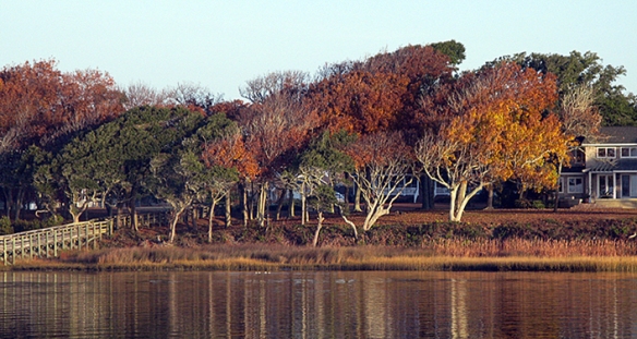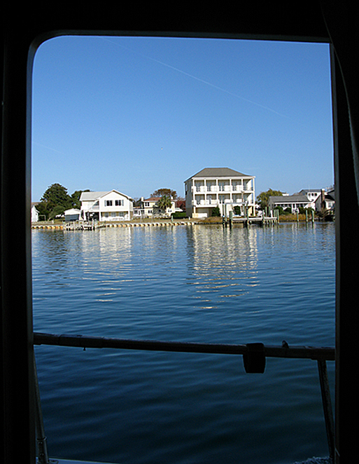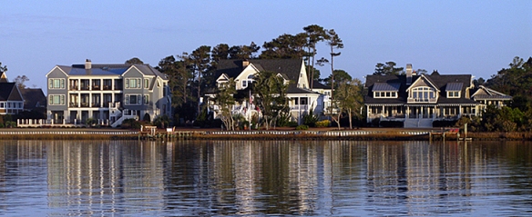
We left Beaufort Monday morning, and stopped at Isle of Hope, in Georgia. Isle of Hope is a fascinating place, I think worth a longer visit. Not because there’s lots to do there, but it’s GORGEOUS! The marina is nestled into a big loop in the channel. Hey, it’s ALL loops in the channel in Georgia, ALL OF IT! Running along the edge of the island facing that loop is a road with some of the most charming, lovely, I-could-happily-live-in-any-one-of-them homes. Truly. Southern homes, porches, windows, more porches. White picket fences.
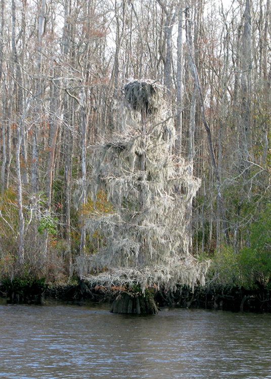
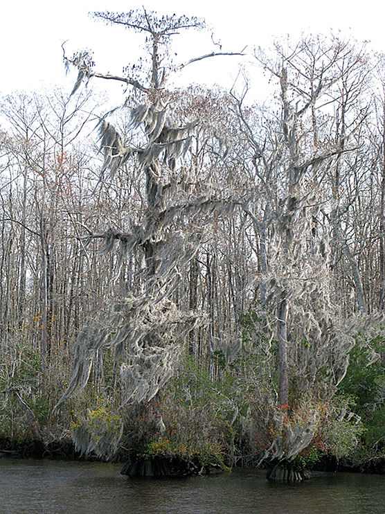
Lining the streets, giant trees dripping with Spanish Moss. Suddenly I saw where the ever-present “ghost stories” of the south come from — these swaying, silver ghosts with (somehow?) sad faces. Towering Magnolias, leaves crisp with the season, clicking softly as you pass. Then a skitter of . . . what? Behind you. I turned around to look several times, and there was. . . the ghost of the south, and I was pleased.
Well, I wax poetic, but I didn’t carry a camera and I am so, SO SORRY! I just know I will go back there and take pictures so I can share it. But, until you hear the soft clatter of ghost feet behind you, you will just have to believe me that they live on the Isle of Hope.
Georgia is shallow water. Winding water. This was a long, long day. We missed the Skidaway Bridge just a few miles down the ICW by three minutes. It was dark when we left at 6:45 (as in “night time” dark) and overcast, and we lost time getting lost. Well. A mark here, a dock and dockhouse sticking WAY out into the channel there. . . We watched the bridge close as we arrived. So. One hour of circling at idle. But we had another 9 hours to go to St. Simons Island, in not such great weather. Fog, drizzles.
Did I say that Georgia is shallow?

At one point we saw .6’ under the keel. THAT is nerve-wracking. Land on either side is way far away, but evidently we could just about walk across if we stepped out of the “channel.” So you say, if we run aground we could “push her off?” I’m thinking NO. It’s likely to be mud, which is okay really because if we DO run aground we can “power off.” Hopefully.
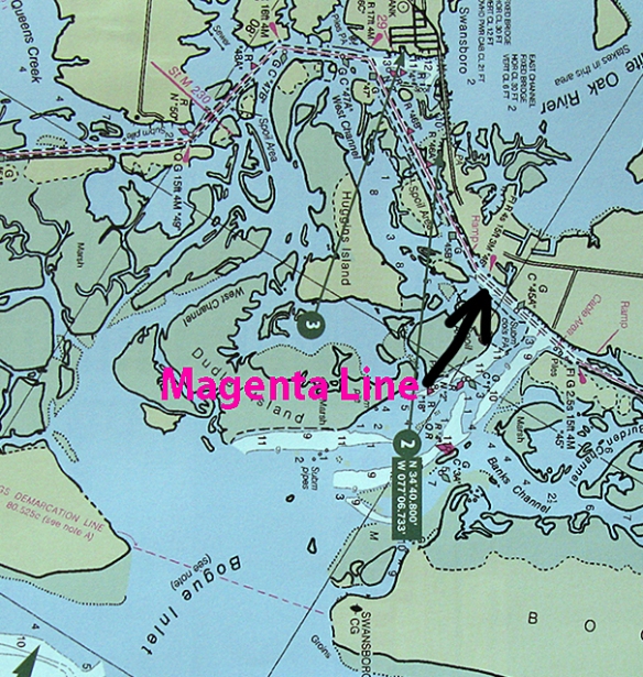
This is a “range.” Sometimes the waters are so wide, and the channel so narrow, that you can wander off between point “A” and point “B.” You’re heading straight for point B, right? But how far away from point A have you strayed? So they put up ranges. You’re supposed to keep the front verticals in line with the verticals behind. This is useful particularly if you don’t have all of the electronic aids that we do, but unfortunately many of these haven’t been maintained, so one or the other will be missing.

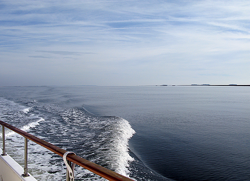
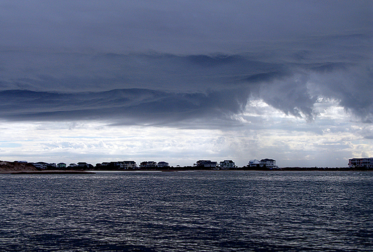
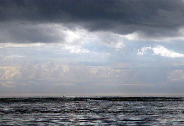
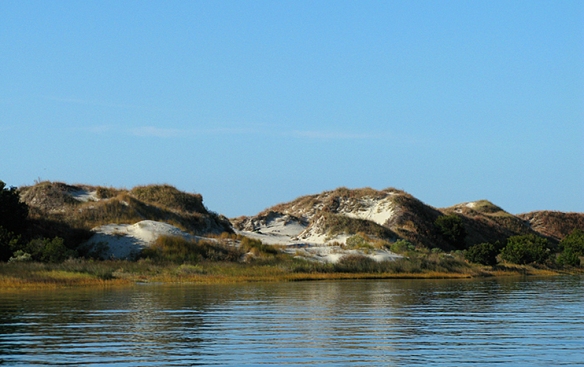
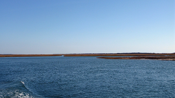
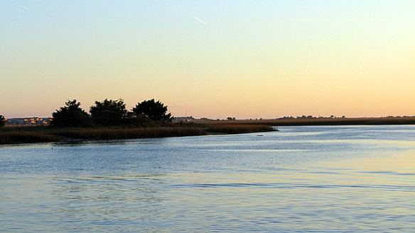
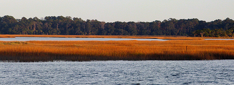
Georgia is layers.
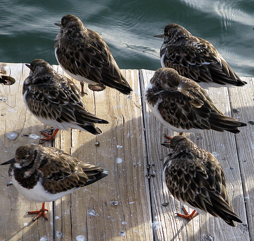
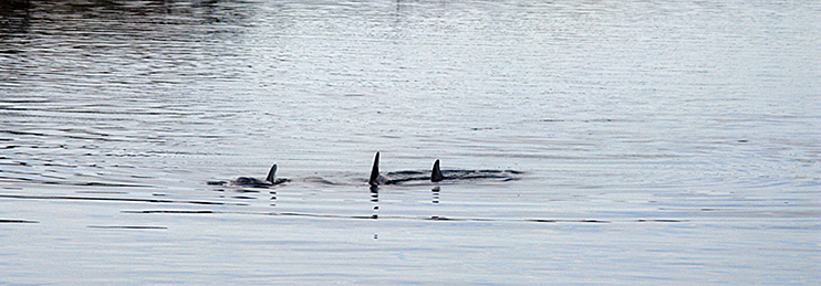
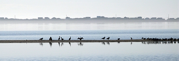
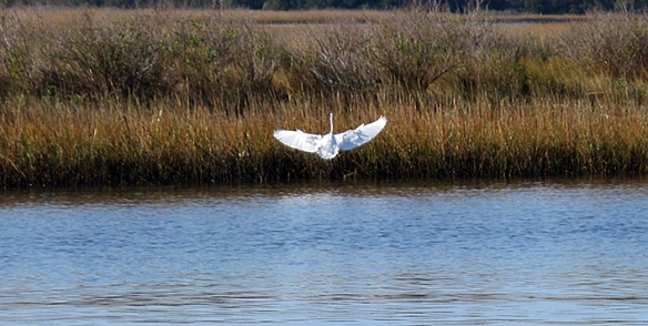
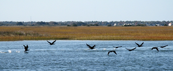
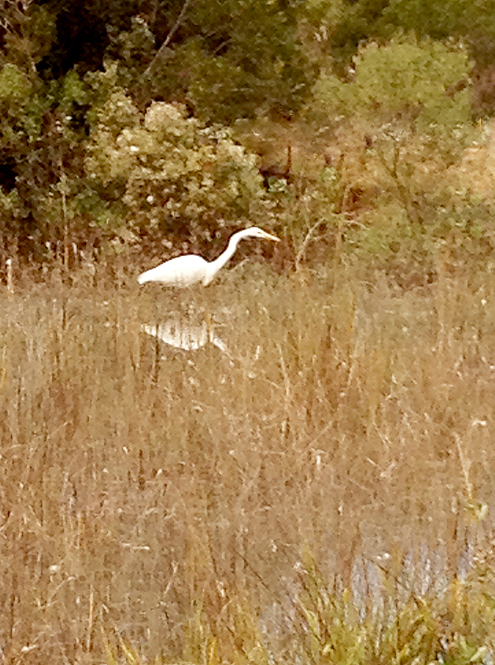
Georgia is birds.

These pelicans are taking advantage of “the ground effect,” floating on a cushion of air between their wings and the water surface.

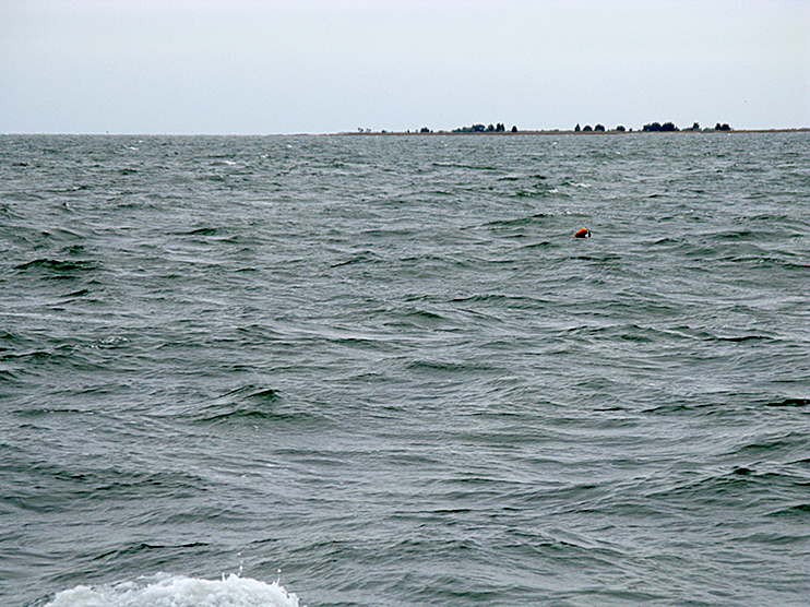
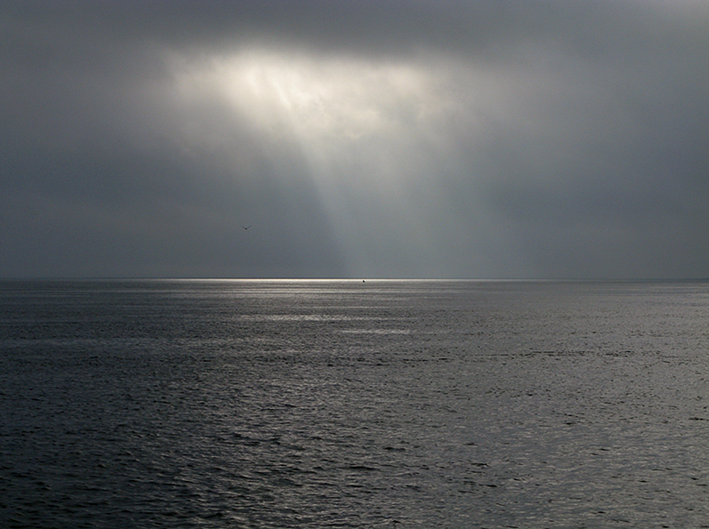
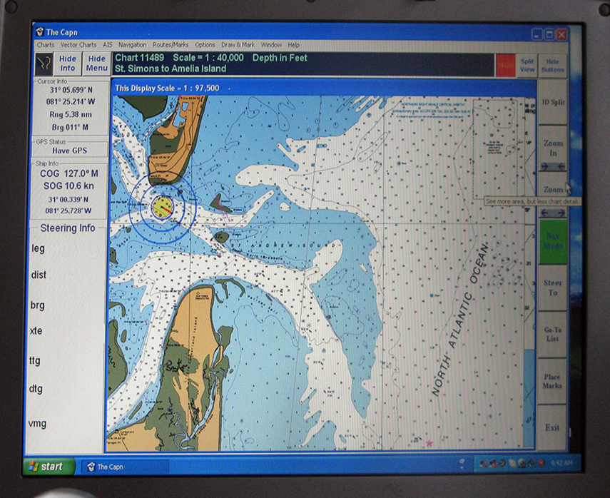
Georgia is rain. In Georgia we went into the ocean. This is what our chartplotter was showing. Our boat is inside the concentric circles.

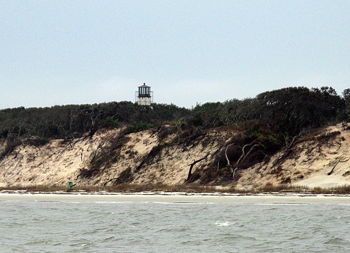
St Andrew Sound was OUT THERE! And here is the light and also the lightkeeper’s house. YOU CAN HAVE IT! I cannot imagine being so isolated. Vulnerable.

Niya didn’t like this, as we were in the swells of The North Atlantic. I didn’t like it either. Thankfully it lasted less than two hours before we were back in protected waters.
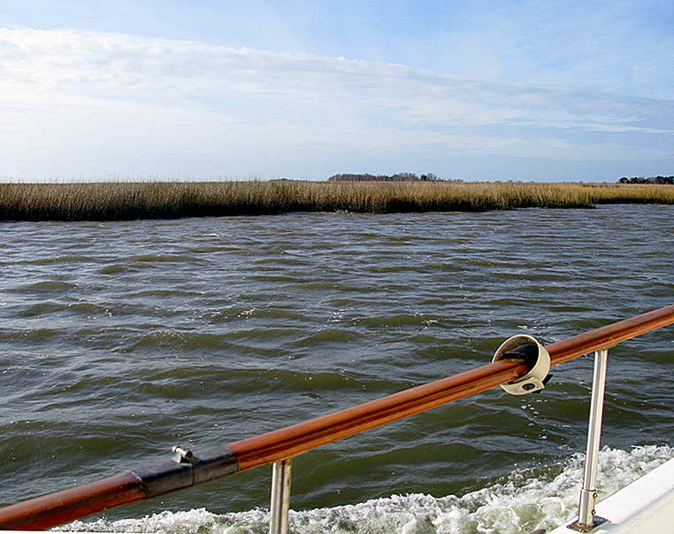
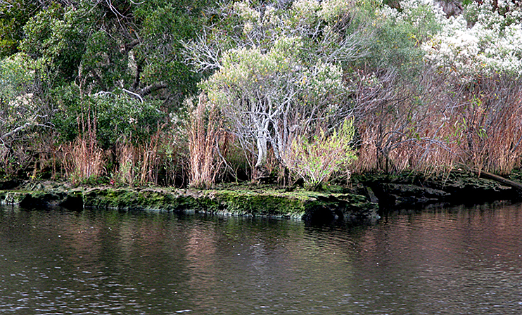
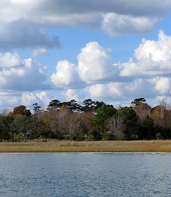
Georgia is a spaghetti of channels, rivers, creeks, some so shallow you gulp and stop looking, others so deep you can’t believe you’re seeing 50 feet, not .5 foot.

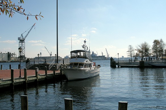
We are in Fernandina Beach, FLORIDA. I’d forgotten how much industry there is here. We’ll stay for two nights and I hope will be able to enjoy the town. Although the rain seems to have moved in with some determination, we won’t let it ruin our visit.