
We left Ft. Lauderdale Monday morning, finally on our way to the Keys, our goal. The winds had subsided — not entirely, but enough, and we both wanted badly to be at our final destination.
We had planned to leave on Wednesday of last week, and ended up staying five extra days due to winds and waves down that way. . . call us “wuss,” when we’ve never done it, never seen it, never experienced it, Biscayne Bay looks GIGANTIC on the charts, and open to the weather! We were pretty sure that at the other end of it we would say, “What were we THINKING! We SHOULDA JUST GONE. . .” But we didn’t, and the week in Ft. Lauderdale was great. It’s a happening city, worth a visit, and we were located beautifully at the municipal marina.
More amazing boats lined the waterway of course. . . 
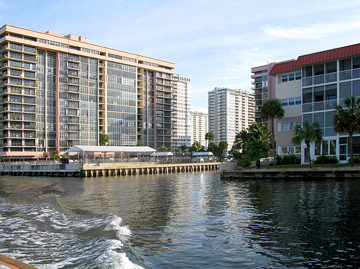
South of Ft. Lauderdale is Hollywood, with many incredibly tall condo buildings.
Miami. Whew! What a sight.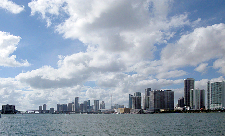
This is one of the many bridges we went through. Most of the bridges are “just bridges,” but a few, like this one have character.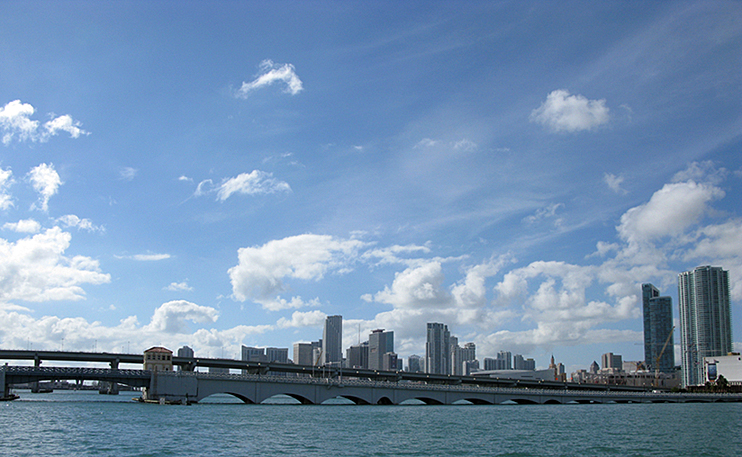
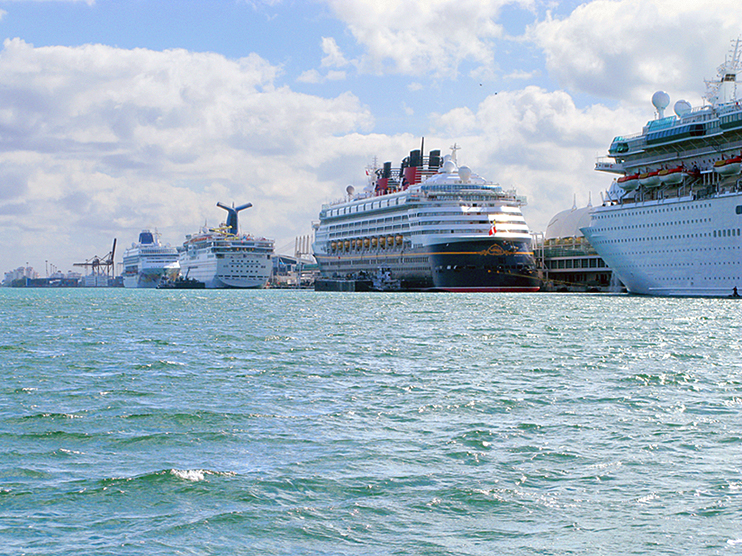
And the cruise ships, all lined up ready to go!
Then we were in Biscayne Bay, 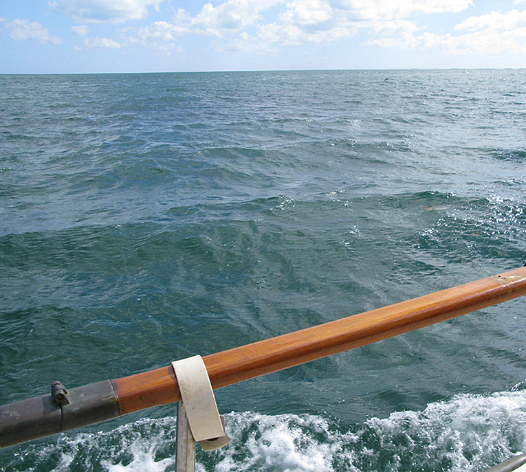
and below that several much smaller sounds, divided by incredibly narrow cuts through the mangroves. 
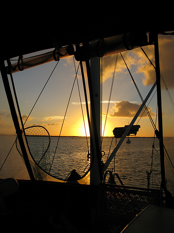
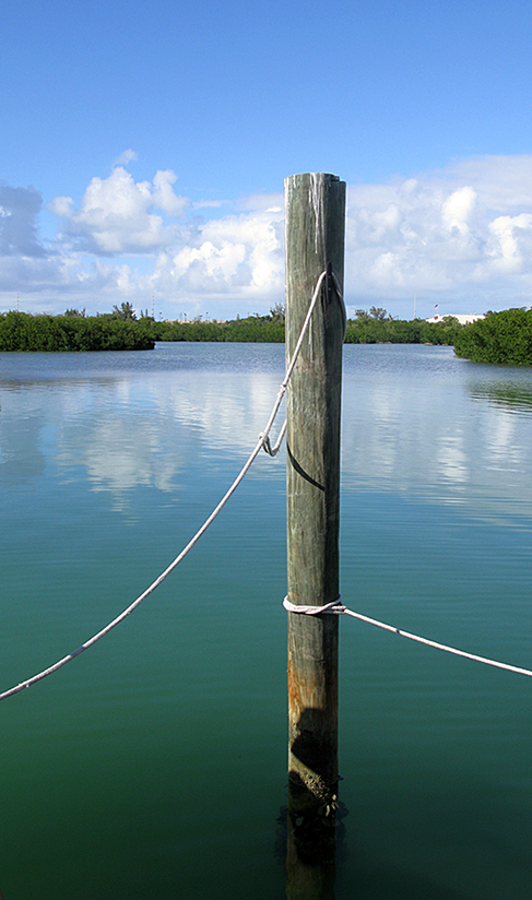
 Yep, we had some wind and waves, in fact the boat was covered in salt at the end of the day, when we anchored off Key Largo in Buttonwood Sound. This is where we chose to anchor:
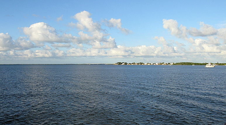

We’ve learned that Key Largo is really, REALLY long! And that the Keys are many, many, MANY small islands. Duck Key, Nest Key, Whaleback Key, Shell Key, Butternut Key . . . and on, and on, and on!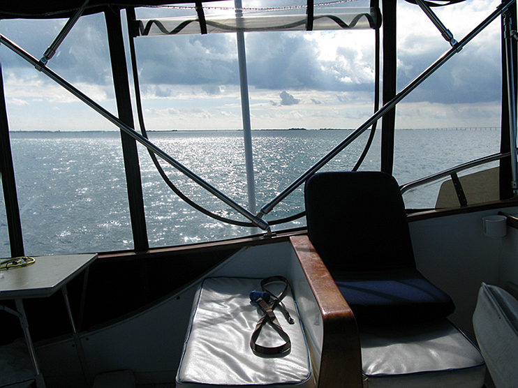 Most of these little islands are uninhabitable, but some of them of course house the rich and famous. In fact they are so exclusive that they (reportedly) have armed guards at the docks, in case you should be foolish enough to want to go ashore. We didn’t try. . .
In the meantime, we were traveling through the Everglades National Park. It looks like you could go forever — but DO NOT STRAY off the path! Although the water is very wide, the channel running through it is very narrow, and the water on either side is very shallow. We could see birds standing (NOT floating, STANDING) nearby as we passed. And IN the channel in some places we had just 1 foot of water under the boat . . . in those places we went very slowly. You don’t want to hit bottom very hard.
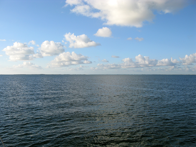
When we got into Florida Bay, that large body of water between “Southern Florida Mainland” and the big swooping curve of the Keys, the color truly turned to turquoise.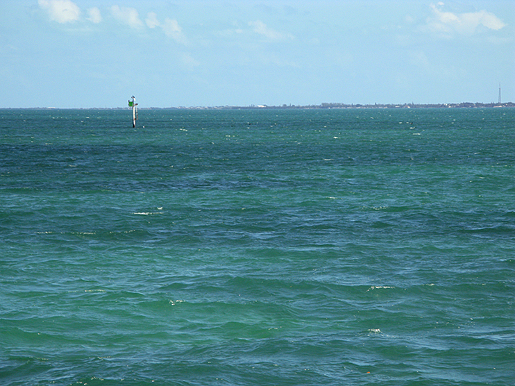 The sky held scattered clouds, and the sun playing on the water left dark areas that were opaque, then big streaks of brilliant aquamarine (golly, I wonder where THAT word came from!!) and crystal clear.
  We could see the bottom as we cruised over it at our 9 or 10 miles an hour. Again, it was very shallow, our depth sounder showing only two or three feet of water under us, and . . . there were CRAB TRAP FLOATS.
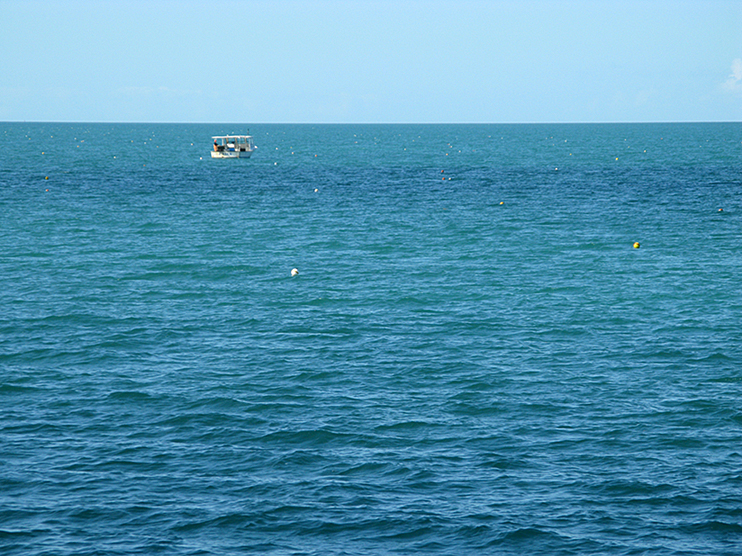
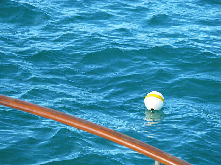 When I say there were crab trap floats, they were everywhere, as far as we could see, crowded together only 50 or 60 feet apart. It was a challenging maze as we worked our way through them.
In the photo below, you can see the white sand trail we kicked up from the bottom in the super shallow water. The curve is because the channel actually turns there. 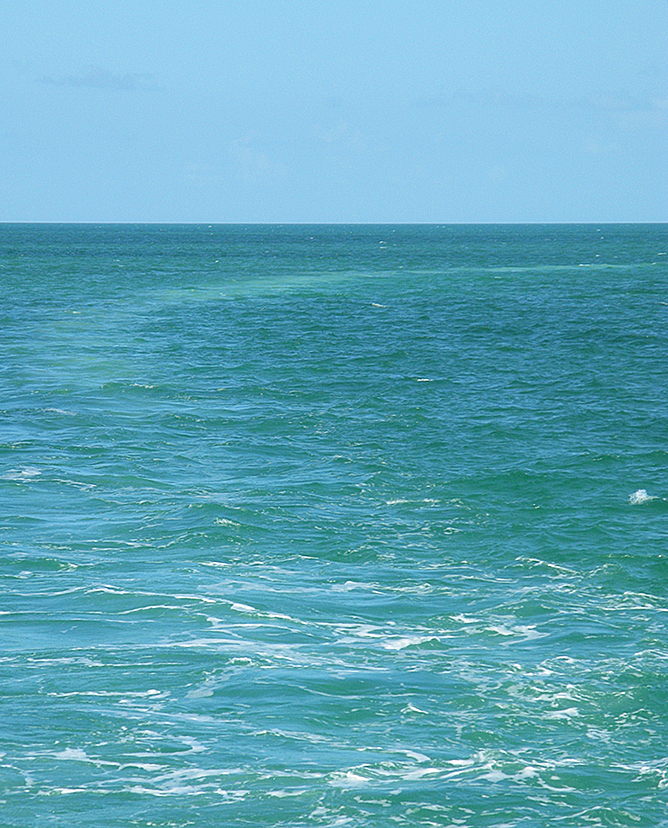
Finally, we could see the Seven Mile Bridge!  The Seven Mile Bridge connects Knight’s Key (part of the city of Marathon, Florida) in the Middle Keys to Little Duck Key in the Lower Keys. It is one of the many (MANY!) bridges on US 1 in the Keys, where the road is called the Overseas Highway. The old bridge was built by Henry Flagler, a hotel tycoon who built a railroad to attract people to his fancy hotels in Key West. The tracks were heavily damaged in a hurricane in 1935, so he sold the span to the US Government who turned it into a public road. A new bridge was completed in 1982, and the old bridge is still there and is used as a fishing pier. We haven’t walked out on it yet, but I understand that you can see many fish, dolphins, manatees and sea turtles when you look down from there!
We went through the bridge and were in the Atlantic Ocean.
 The winds and waves were very much in evidence — as were the crab pots — as we made the eastward turn to our left — Marathon and Boot Key Harbor ahead!
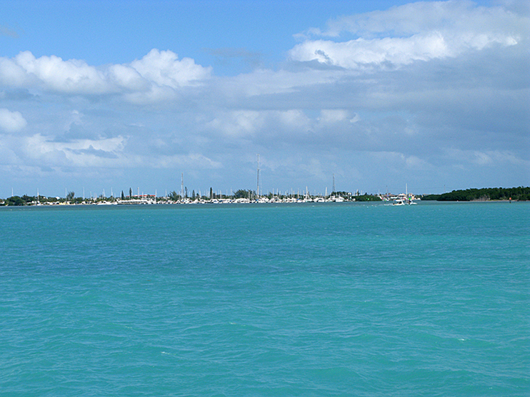 Our friend Robin was on her kayak as we came near, and she took these photos as we passed her at the entrance to the harbor.
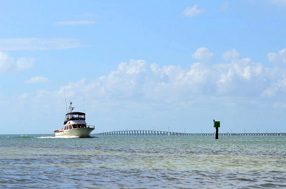

The “Mooring Field” takes up a massive amount of space in the middle of the harbor, and is occupied by many more sailboats than power boats — and is designated as “International Waters.”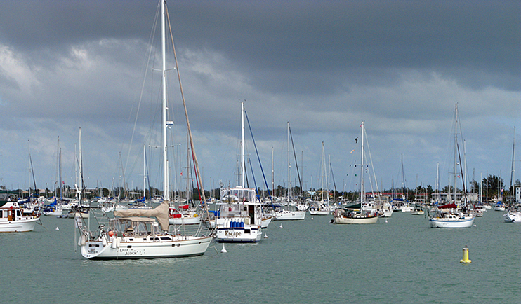
And finally to our slip at Marathon Marina Dockside. This is what’s in front of us. . . 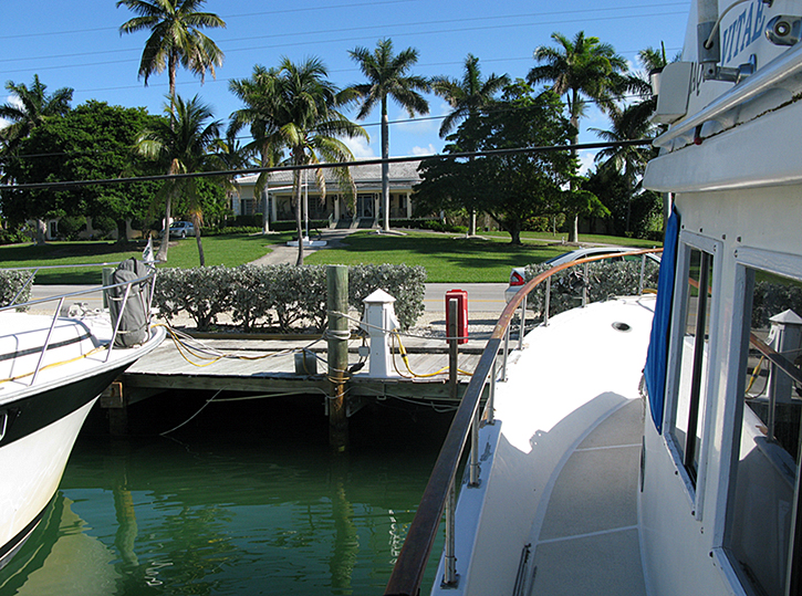
and this is looking off the stern. . . 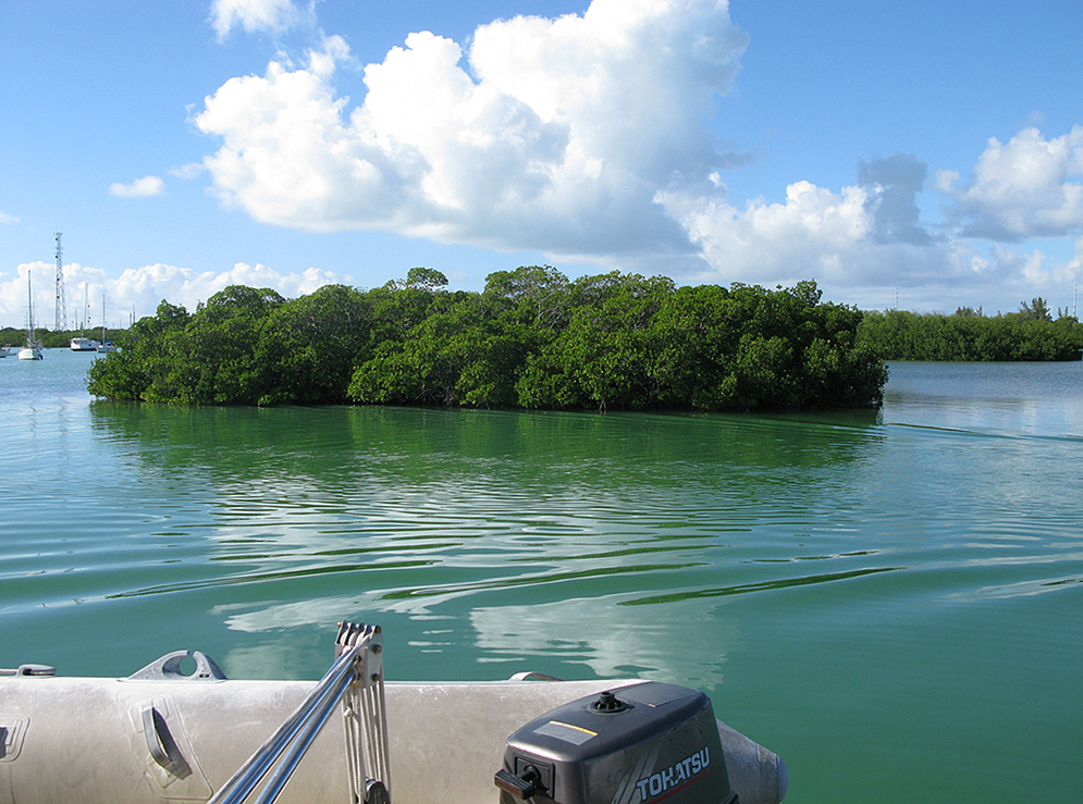
We have arrived!

Han’s & Peggy: We have enjoyed your narrative and photo’s all the way down to your destination. Falk Kantor may be looking you up, he is from our Division and a good friend of mine I believe he wishes to do the same trip as you just completed. Have a great time and thanks for the stories and pictures. Christie & Bill
PS Did Han’s get the Decals??
Peggy, it is wonderful to be able to share your trip through the journal entries and – most especially, the wonderful, marvelous pictures!!!!!!
This is all so exciting and stirs up lots of memories from our trip. Wonderful pictures along with the narrative. Love Barbara
Thanks Peggy and Hans for sharing your fabulous journey to the Florida Keys on the ICW. A truly National Geographic type trip with super pictures and great narative too.
Congratulations on your safe arrival !
Maybe now there’s time for a floor plan of the Aqua Vitae……… 🙂
Well – it’s about time! The water looks ah-mazing!